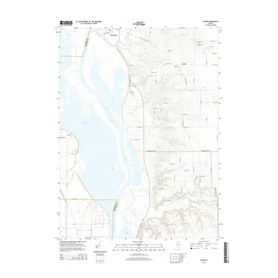
2015 Map of Florid
USGS Topo · Published 2015About this map
Hennepin and the unincorporated community of Florid anchor this Illinois River landscape as it appeared in the mid-2010s. The village of Hennepin sits along the river's bend at the northwest, while the map follows the river's broad valley southward across Putnam Co into Marshall Co. The alluvial plain is dominated by a complex of water bodies including Senachwine Lake, Swan Lake, and Sawmill Lake, separated from the eastern bluffs by the Illinois River channel. These lowlands contrast sharply with the dissected upland terrain to the east, where the land rises toward Woody Walker Hl.
Find a feature on this map
42 named features on this map. Tap any name to fly to it.
Don’t see what you’re looking for? This feature index may not catch every label — zoom into the map to look around manually.
Map Details
Editions of this 2015 Florid Map
This is the sole edition of this map. No revisions or reprints were ever made.
Other maps of this area

1893 · Lacon
USGS Topo · 1:62,500

1893 · Hennepin
USGS Topo · 1:62,500

1893 · Lasalle
USGS Topo · 1:62,500

1909 · Hennepin
USGS Topo · 1:62,500

1911 · La Salle
USGS Topo · 1:62,500

1911 · Hennepin
USGS Topo · 1:62,500

1913 · La Salle
USGS Topo · 1:62,500

1933 · Lacon
USGS Topo · 1:62,500

1934 · Wenona
USGS Topo · 1:48,000

1937 · Lacon
USGS Topo · 1:62,500