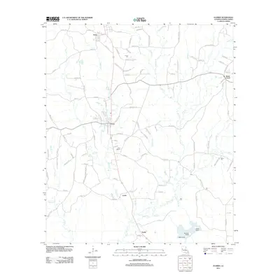
2012 Map of Florien
USGS Topo · Published 2012About this map
Florien serves as the central hub of this Sabine Parish landscape, where the local road network converges near the Po. The settlement patterns here follow the north-south corridor of the highway and rail lines, connecting Fisher in the north to Gandy and Sandel in the south. The terrain is defined by a dense web of waterways, most notably Midkiff Cr and the larger Bayou Toro, which feeds into the south where Nandina Island and Bear Island emerge near the confluence with Dick Br.
Find a feature on this map
119 named features on this map. Tap any name to fly to it.
Don’t see what you’re looking for? This feature index may not catch every label — zoom into the map to look around manually.
Map Details
Editions of this 2012 Florien Map
This is the sole edition of this map. No revisions or reprints were ever made.
Other maps of this area

1941 · Zwolle
USGS Topo · 1:62,500

1942 · Many
USGS Topo · 1:62,500

1942 · Florien
USGS Topo · 1:62,500

1943 · Many
USGS Topo · 1:62,500

1944 · Negreet
USGS Topo · 1:62,500

1944 · Florien
USGS Topo · 1:62,500

1944 · Zwolle
USGS Topo · 1:62,500

1953 · Alexandria
USGS Topo · 1:250,000

1954 · Toro
USGS Topo · 1:24,000

1954 · Florien
USGS Topo · 1:62,500