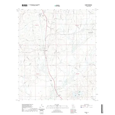
2020 Map of Florien
USGS Topo · Published 2020About this map
The town of Florien anchors this Sabine Parish landscape, where a dense network of local roads and waterways defines the rural character of west-central Louisiana. Historically significant for its connection to the timber industry, the area is marked by settlements like Fisher and Mount Carmel, along with smaller locales such as Gandy and Sandel. The terrain is intricately carved by numerous drainages, including Indian Bayou, Many Br, and Tan Trough Cr, which flow toward the southern wetlands near Bayou Toro. To the southeast, several distinctive landforms rise from the low-lying wet areas, including House Island, Bear Island, and Nandina Island. Genealogists and local historians will find several burial grounds preserved on the map, including Lewing Cem, Sibley Cem, and Toro Cem, providing specific points of interest for family research in this sparsely populated region of the state.
Find a feature on this map
90 named features on this map. Tap any name to fly to it.
Don’t see what you’re looking for? This feature index may not catch every label — zoom into the map to look around manually.
Map Details
Editions of this 2020 Florien Map
This is the sole edition of this map. No revisions or reprints were ever made.
Other maps of this area

1941 · Zwolle
USGS Topo · 1:62,500

1942 · Many
USGS Topo · 1:62,500

1942 · Florien
USGS Topo · 1:62,500

1943 · Many
USGS Topo · 1:62,500

1944 · Negreet
USGS Topo · 1:62,500

1944 · Florien
USGS Topo · 1:62,500

1944 · Zwolle
USGS Topo · 1:62,500

1953 · Alexandria
USGS Topo · 1:250,000

1954 · Toro
USGS Topo · 1:24,000

1954 · Florien
USGS Topo · 1:62,500