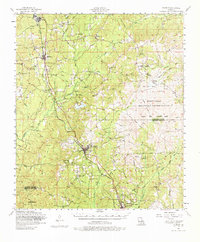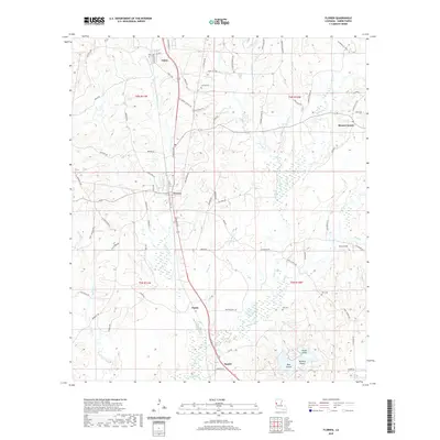
2024 Map of Florien
USGS Topo · Published 2024About this map
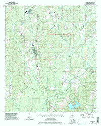
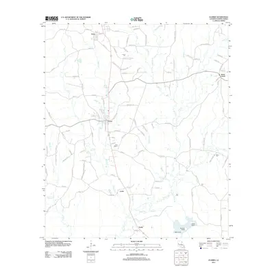
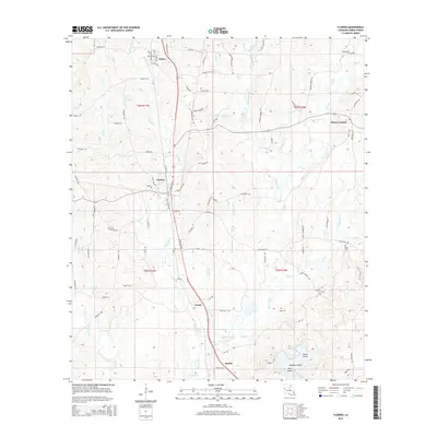
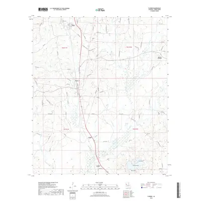
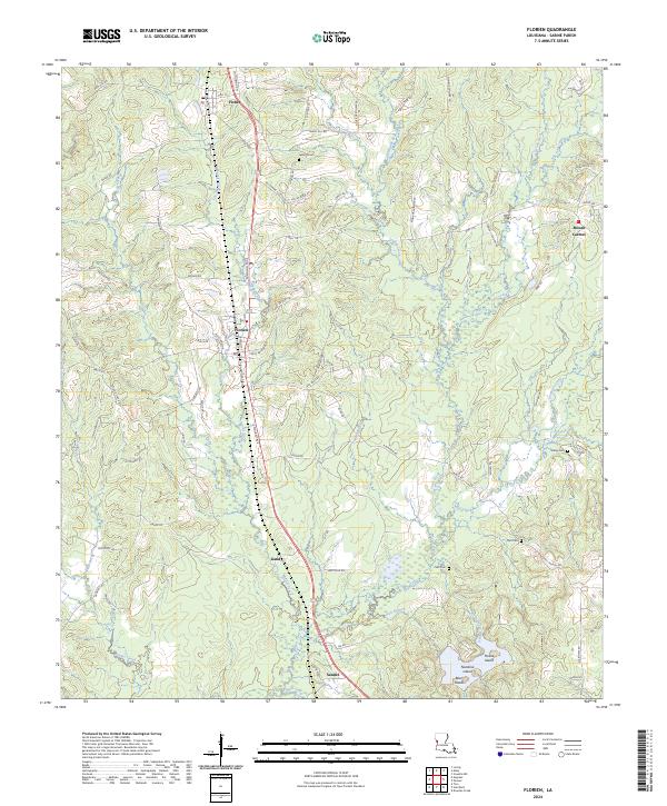
The timberlands and creek valleys of Sabine Parish are defined by a network of small settlements and family burial grounds that trace the region's rural development. Fisher and Florien serve as the primary hubs in the north, connected by the historical corridor of N Nolan Trce, while smaller points like Gandy and Sandel mark the southward progression toward the Bayou Toro basin. This landscape is intricately dissected by watercourses such as Tan-Trough Creek and Many Branch, creating a geography of isolated rises and islands. To the south, Nandina Island and Bear Island emerge within the wetlands near the confluence of Dick Branch and White House Branch. Genealogists will find significant value in the documentation of several local cemeteries, including Lewing Cem, Self Cem, and Toro Cem, which are scattered throughout the piney woods and farming tracts of the central parishes.
Find a feature on this map
92 named features on this map. Tap any name to fly to it.
Don’t see what you’re looking for? This feature index may not catch every label — zoom into the map to look around manually.
Map Details
Editions of this 2024 Florien Map
This is the sole edition of this map. No revisions or reprints were ever made.
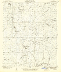
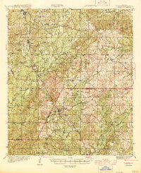
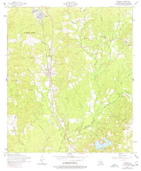
Historical Maps of Florien Through Time
10 maps found