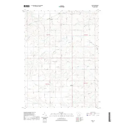
2018 Map of Floris
USGS Topo · Published 2018About this map
Floris serves as a primary settlement point in this section of Davis County, situated near the northern edge of the map where Soap Creek and Morgan Br define the local drainage. The landscape is characterized by a high density of small family and community burial sites, suggesting a deeply rooted rural population. Genealogists may find value in the location of the Odd Fellows Cem near the town center, or more isolated sites like the Cupp Grave and Pagett Cem further south and east.
Find a feature on this map
74 named features on this map. Tap any name to fly to it.
Don’t see what you’re looking for? This feature index may not catch every label — zoom into the map to look around manually.
Map Details
Editions of this 2018 Floris Map
This is the sole edition of this map. No revisions or reprints were ever made.
Other maps of this area

1954 · Centerville
USGS Topo · 1:250,000

1956 · Agency
USGS Topo · 1:24,000

1956 · Ottumwa South
USGS Topo · 1:24,000

1956 · Ottumwa South
USGS Topo · 1:62,500

1957 · Centerville
USGS Topo · 1:250,000

1958 · Centerville
USGS Topo · 1:250,000
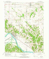
1965 · Eldon
USGS Topo · 1:24,000

1965 · Selma
USGS Topo · 1:24,000
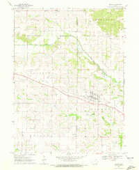
1970 · Milton
USGS Topo · 1:24,000
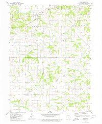
1979 · Floris
USGS Topo · 1:24,000