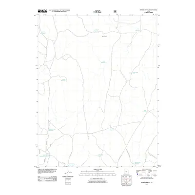
2011 Map of Flossie Knoll
USGS Topo · Published 2011About this map
Flossie Knoll stands as a central topographic landmark in this high-altitude landscape within Piute County, Utah. The area is defined by a dense network of water management features, including the Forshea Reservoir and Flossie Lake in the north, and a series of catchments to the south such as Death Hollow Reservoir Number 1 and Death Hollow Reservoir Number 2. This concentration of reservoirs and ponds like Tri-Corner Pond suggests a land used heavily for livestock grazing and water storage in a dry climate. Access to these remote upland features is provided by a web of Forest Service routes, including US Forest Service Road 174 and Forest Road 139, which navigate the drainages and hollows that characterize this section of the Fishlake National Forest region.
Find a feature on this map
20 named features on this map. Tap any name to fly to it.
Don’t see what you’re looking for? This feature index may not catch every label — zoom into the map to look around manually.
Map Details
Editions of this 2011 Flossie Knoll Map
This is the sole edition of this map. No revisions or reprints were ever made.
Other maps of this area

1885 · Fish Lake
USGS Topo · 1:250,000

1896 · Fish Lake
USGS Topo · 1:250,000

1956 · Salina
USGS Topo · 1:250,000

1960 · Salina
USGS Topo · 1:250,000

1962 · Salina
USGS Topo · 1:250,000
1969 · Parker Knoll
USGS Topo · 1:24,000
1969 · Smooth Knoll
USGS Topo · 1:24,000
1969 · Flossie Knoll
USGS Topo · 1:24,000
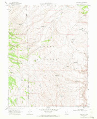
1969 · Jakes Knoll
USGS Topo · 1:24,000
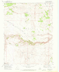
1969 · Moroni Peak
USGS Topo · 1:24,000