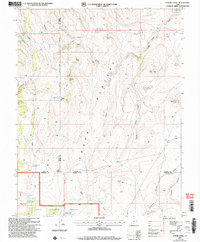
2002 Map of Flossie Knoll
USGS Topo · Published 2005About this map
Awapa Plateau dominates this high-altitude landscape, a region defined by complex drainage patterns and scattered water management features within the Dixie National Forest. This 2002 revision shows an intricate system of small reservoirs and ponds, such as Death Hollow Reservoir, Gripe Reservoir, and Tri Corner Pond, which are critical for supporting livestock and wildlife in the arid Utah interior. The map illustrates the convergence of three counties—Wayne, Piute, and Garfield—marking a significant jurisdictional junction near The Tanks. Prominent geologic formations like The Buttes, consisting of North Butte, Middle Butte, and South Butte, serve as distinct navigational landmarks amidst the draws and hollows. The presence of Forshea Spring and Antelope Spring highlights the few natural water sources that have historically dictated movement and land use across this high-country terrain.
Find a feature on this map
44 named features on this map. Tap any name to fly to it.
Don’t see what you’re looking for? This feature index may not catch every label — zoom into the map to look around manually.
Map Details
Editions of this 2002 Flossie Knoll Map
This is the sole edition of this map. No revisions or reprints were ever made.
Other maps of this area

1885 · Fish Lake
USGS Topo · 1:250,000

1896 · Fish Lake
USGS Topo · 1:250,000

1956 · Salina
USGS Topo · 1:250,000

1960 · Salina
USGS Topo · 1:250,000

1962 · Salina
USGS Topo · 1:250,000
1969 · Parker Knoll
USGS Topo · 1:24,000
1969 · Smooth Knoll
USGS Topo · 1:24,000
1969 · Flossie Knoll
USGS Topo · 1:24,000
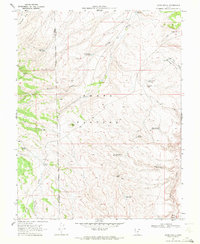
1969 · Jakes Knoll
USGS Topo · 1:24,000
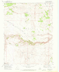
1969 · Moroni Peak
USGS Topo · 1:24,000