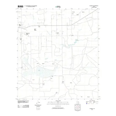
2010 Map of Flowella
USGS Topo · Published 2010About this map
Flowella and its surrounding ranchlands are depicted here in the early 21st century, revealing a landscape defined by traditional cattle operations and the modern energy industry. The southern portion of the map is dominated by the sprawling Laguna Salada and the prominent Gyp Hill, which features its own dedicated Gyp Hill Oil Field. Family-named landmarks such as Perez Ranch and Mariposa Ranch reflect the deep-rooted agricultural heritage of Brooks County, while the Pedro Garza Zamora Cemetery and Perez Cemetery offer vital points of interest for genealogists tracing local family lines.
Find a feature on this map
50 named features on this map. Tap any name to fly to it.
Don’t see what you’re looking for? This feature index may not catch every label — zoom into the map to look around manually.
Map Details
Editions of this 2010 Flowella Map
This is the sole edition of this map. No revisions or reprints were ever made.
Other maps of this area

1921 · Falfurrias
USGS Topo · 1:125,000

1928 · Sarita
USGS Topo · 1:125,000

1950 · Corpus Christi
USGS Topo · 1:250,000

1954 · Sarita
USGS Topo · 1:62,500

1954 · Riviera
USGS Topo · 1:62,500

1956 · Corpus Christi
USGS Topo · 1:250,000

1956 · Laredo
USGS Topo · 1:250,000

1960 · Corpus Christi
USGS Topo · 1:250,000

1963 · Flowella
USGS Topo · 1:24,000

1963 · Falfurrias SE
USGS Topo · 1:24,000