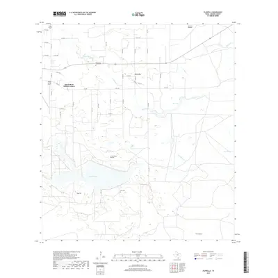
2019 Map of Flowella
USGS Topo · Published 2019About this map
Flowella serves as a central point in this South Texas landscape, where the ephemeral waters of Los Olmos Cr and Palo Blanco Cr cross a series of large coastal pastures. The presence of multiple family-named burial sites, including the Pedro Jaramillo Cem, Pedro Garza Zamora Cem, and Perez Cem, indicates a deep-rooted lineage of ranching and settlement in Brooks County.
Find a feature on this map
48 named features on this map. Tap any name to fly to it.
Don’t see what you’re looking for? This feature index may not catch every label — zoom into the map to look around manually.
Map Details
Editions of this 2019 Flowella Map
This is the sole edition of this map. No revisions or reprints were ever made.
Other maps of this area

1921 · Falfurrias
USGS Topo · 1:125,000

1928 · Sarita
USGS Topo · 1:125,000

1950 · Corpus Christi
USGS Topo · 1:250,000

1954 · Sarita
USGS Topo · 1:62,500

1954 · Riviera
USGS Topo · 1:62,500

1956 · Corpus Christi
USGS Topo · 1:250,000

1956 · Laredo
USGS Topo · 1:250,000

1960 · Corpus Christi
USGS Topo · 1:250,000

1963 · Flowella
USGS Topo · 1:24,000

1963 · Falfurrias SE
USGS Topo · 1:24,000