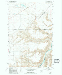
1965 Map of Floweree
USGS Topo · Published 1994About this map
Floweree sits at the northern edge of this high-plains landscape, where the Burlington Northern railroad cuts a diagonal path across the coulees of Chouteau and Cascade Counties. The topography is defined by the deep incisions of the Missouri River as it winds through the southeastern corner, flanked by several significant drainages including Ryan Coulee and Widow Coulee. Near the center of the sheet, the terrain drops sharply at Falls, a point of interest along a small drainage fed by Spring. To the west, the small settlement of Portage is positioned near Portage Coulee, reflecting the historic river-avoidance routes used by early travelers. This map captures the mid-1960s agricultural and transport character of the region, from the Floweree Lake basin to the industrial presence of a Pipeline and multiple Gravel Pits.
Find a feature on this map
24 named features on this map. Tap any name to fly to it.
Don’t see what you’re looking for? This feature index may not catch every label — zoom into the map to look around manually.
Map Details
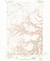
Editions of this 1965 Floweree Map
2 editions found
Other maps of this area

1886 · Great Falls
USGS Topo · 1:250,000

1890 · Fort Benton
USGS Topo · 1:250,000

1892 · Fort Benton
USGS Topo · 1:250,000

1897 · Fort Benton
USGS Topo · 1:250,000

1948 · Portage
USGS Topo · 1:62,500

1949 · Portage
USGS Topo · 1:62,500

1950 · Dent Bridge
USGS Topo · 1:62,500

1953 · Carter
USGS Topo · 1:24,000

1954 · Great Falls
USGS Topo · 1:250,000

1954 · Lander Crossing
USGS Topo · 1:24,000