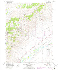
1967 Map of Flowery Peak
USGS Topo · Published 1983About this map
The Flowery Range dominates this landscape, serving as a backdrop to the industrial legacy of the Flowery Mining District. Underground mining operations are highlighted by the path of the Sutro Tunnel, which runs beneath the peaks to reach the Comstock Lode. Its presence is marked on the surface by several Air Shaft locations and the settlement of Sutro itself near the Carson River. The western slopes are dotted with specific mining landmarks like the Belmont-Uncle Sam Shaft, the Lady Bryan Mine, and the Berry Glory Hole, while the former townsite of Monte Cristo sits tucked between Sixmile Canyon and Sugarloaf. Down in the Carson Plains, the river's water is managed through the Koch Ditch and a Diversion Dam, supporting agriculture alongside the recreational lands of Dayton State Park.
Find a feature on this map
40 named features on this map. Tap any name to fly to it.
Don’t see what you’re looking for? This feature index may not catch every label — zoom into the map to look around manually.
Map Details
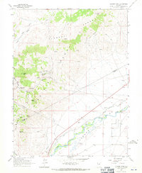
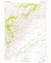
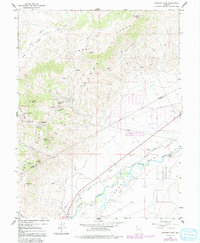
Editions of this 1967 Flowery Peak Map
4 editions found
Other maps of this area

1891 · Carson
USGS Topo · 1:125,000

1891 · Wabuska
USGS Topo · 1:125,000

1893 · Carson
USGS Topo · 1:125,000

1894 · Wabuska
USGS Topo · 1:125,000

1950 · Virginia City
USGS Topo · 1:62,500

1952 · Virginia City
USGS Topo · 1:62,500

1956 · Dayton
USGS Topo · 1:62,500

1957 · Como
USGS Topo · 1:62,500

1957 · Churchill Butte
USGS Topo · 1:62,500

1957 · Reno
USGS Topo · 1:250,000