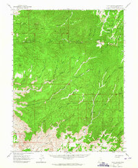
1963 Map of Floy Canyon
USGS Topo · Published 1965About this map
The Uintah and Ouray Indian Reservation occupies the northeastern corner of this 1963 survey, a landscape defined by deep drainages and high ridges. The rugged topography is etched with numerous Pack Trails and Jeep Trails that provided essential access to remote livestock water sources like Showerbath Spring and Tom Spr. Small-scale resource extraction is evident at the Crescent Mine and several unnamed Mines tucked into Bobby Canyon and Floy Canyon. These sites speak to the era's prospecting efforts within the dramatic elevation changes of the Book Cliffs. Names like Tom Farrer Valley and Poverty Bench suggest the hardscrabble nature of early settlement and land use in this corner of Grand County. The map also documents unique landmarks such as Nutters Hole and Nine Mile Hole, which served as critical points of reference in the vast, arid terrain.
Find a feature on this map
69 named features on this map. Tap any name to fly to it.
Don’t see what you’re looking for? This feature index may not catch every label — zoom into the map to look around manually.
Map Details
Editions of this 1963 Floy Canyon Map
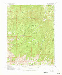
2 editions found
Other maps of this area

1885 · San Rafael
USGS Topo · 1:250,000

1885 · East Tavaputs
USGS Topo · 1:250,000

1885 · La Sal
USGS Topo · 1:250,000

1886 · Price River
USGS Topo · 1:250,000

1896 · Price River
USGS Topo · 1:250,000

1954 · Tidwell 1 NE
USGS Topo · 1:24,000

1954 · Range Creek
USGS Topo · 1:62,500

1954 · Green River
USGS Topo · 1:62,500

1956 · Salina
USGS Topo · 1:250,000

1956 · Price
USGS Topo · 1:250,000