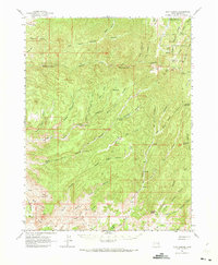
1963 Map of Floy Canyon
USGS Topo · Published 1973About this map
The Uintah and Ouray Indian Reservation occupies the northeastern corner of this territory, where the terrain is marked by steep canyons and natural springs. This high-desert landscape is defined by the massive drainage systems of Floy Canyon and Rattlesnake Canyon, which cut through the uplifted strata of the Book Cliffs. Throughout the area, human presence is traced by old transit routes like the Wagon Road and the Sunset Dugway, while names like Tom Farrer Valley and Tom Spr suggest the local history of ranching and water rights in this arid environment.
Find a feature on this map
77 named features on this map. Tap any name to fly to it.
Don’t see what you’re looking for? This feature index may not catch every label — zoom into the map to look around manually.
Map Details
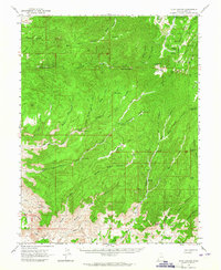
Editions of this 1963 Floy Canyon Map
2 editions found
Other maps of this area

1885 · San Rafael
USGS Topo · 1:250,000

1885 · East Tavaputs
USGS Topo · 1:250,000

1885 · La Sal
USGS Topo · 1:250,000

1886 · Price River
USGS Topo · 1:250,000

1896 · Price River
USGS Topo · 1:250,000

1954 · Tidwell 1 NE
USGS Topo · 1:24,000

1954 · Range Creek
USGS Topo · 1:62,500

1954 · Green River
USGS Topo · 1:62,500

1956 · Salina
USGS Topo · 1:250,000

1956 · Price
USGS Topo · 1:250,000