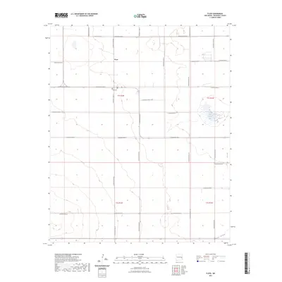
2023 Map of Floyd
USGS Topo · Published 2023About this map
Floyd serves as the central settlement in this portion of Roosevelt County, situated within a landscape defined by the Public Land Survey System's rigid grid. The village's history is anchored by the Floyd Cem, while the surrounding High Plains terrain is marked by seasonal water features like Blanca Lake and the natural depression of Boone Draw. The map illustrates a highly organized rural infrastructure, where a network of numbered corridors such as S Roosevelt Road 1 and S Roosevelt Road AG provide access to the expansive agricultural sections. This 2023 data reveals how modern land management maintains the historic township and range boundaries of t1s r32e and t1s r33e, preserving a pattern of settlement and transport that has dictated life in eastern New Mexico for generations.
Find a feature on this map
26 named features on this map. Tap any name to fly to it.
Don’t see what you’re looking for? This feature index may not catch every label — zoom into the map to look around manually.
Map Details
Editions of this 2023 Floyd Map
This is the sole edition of this map. No revisions or reprints were ever made.
Other maps of this area

1954 · Clovis
USGS Topo · 1:250,000

1957 · Portair
USGS Topo · 1:62,500

1957 · Melrose
USGS Topo · 1:62,500

1957 · Portales
USGS Topo · 1:62,500

1958 · Clovis
USGS Topo · 1:250,000

1973 · Floyd
USGS Topo · 1:24,000

1973 · Lewiston Lake
USGS Topo · 1:24,000

1973 · Tule Lake
USGS Topo · 1:24,000

1973 · Upton
USGS Topo · 1:24,000

1973 · Floyd SE
USGS Topo · 1:24,000