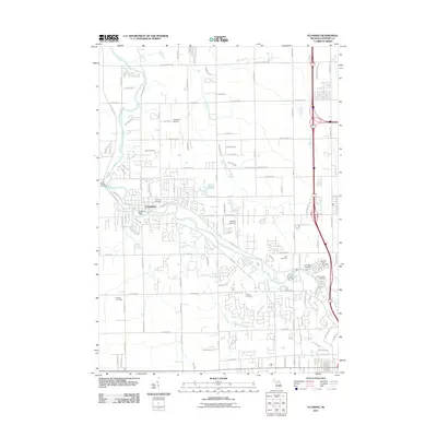
2011 Map of Flushing
USGS Topo · Published 2011About this map
Flushing sits at the heart of this survey, established along the meandering banks of the Flint River. The 2011 landscape reveals a dense network of suburban development intertwined with small aviation sites like Cedarville Airport and Daltons Airport. A notable concentration of memorial sites exists here, including Flushing Cemetery, Cronk Cemetery, and Saint Roberts Cemetery, providing a significant resource for genealogists tracing family roots in the Genesee County area.
Find a feature on this map
55 named features on this map. Tap any name to fly to it.
Don’t see what you’re looking for? This feature index may not catch every label — zoom into the map to look around manually.
Map Details
Editions of this 2011 Flushing Map
This is the sole edition of this map. No revisions or reprints were ever made.
Other maps of this area

1919 · Burt
USGS Topo · 1:62,500

1920 · Flint
USGS Topo · 1:62,500

1920 · Holly
USGS Topo · 1:62,500

1921 · Burt
USGS Topo · 1:62,500

1922 · Holly
USGS Topo · 1:62,500

1922 · Durand
USGS Topo · 1:62,500

1922 · Flint
USGS Topo · 1:62,500

1943 · Holly
USGS Topo · 1:62,500

1943 · Burt
USGS Topo · 1:62,500

1943 · Durand
USGS Topo · 1:62,500
Featured Places
- Flushing, MI
- Flint Charter Township, MI
- Flushing Charter Township, MI
- Mount Morris Charter Township, MI
- Clayton Charter Township, MI