2023 Map of Flushing
USGS Topo · Published 2023About this map
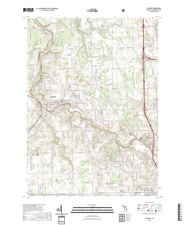
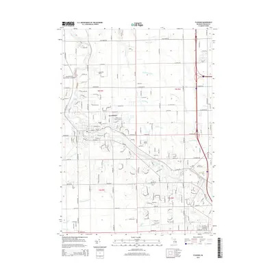
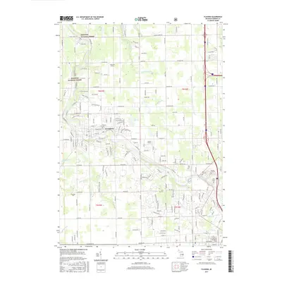
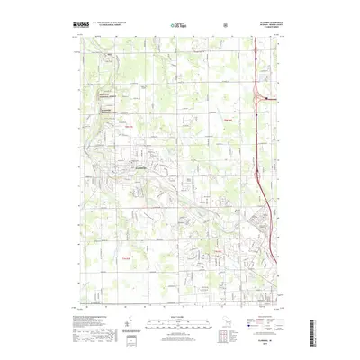
The Flint River winds prominently through the heart of Flushing, serving as the central geographic feature for this Genesee County landscape. This 2023 survey illustrates the modern interface between suburban development and the northern reaches of the Manistee National Forest, which appears as a managed woodland tract in the northwest quadrant. The area is characterized by an extensive network of cemeteries concentrated in the southeast, including Flint City Cem, Sunset Hills Cem, and New Calvary Catholic Cem. These sites, alongside local landmarks like Cedarville Airport and Dalton Airport, provide clear orientation for researchers studying local land use and genealogy. Numerous water management features such as Hartshorn Drain and Cattail Swamp Drain intersect the primary road grid, including W Pierson Rd and Beecher Rd, showing how the natural drainage of the Flint River basin has been integrated into the regional infrastructure.
Find a feature on this map
51 named features on this map. Tap any name to fly to it.
Don’t see what you’re looking for? This feature index may not catch every label — zoom into the map to look around manually.
Map Details
Editions of this 2023 Flushing Map
This is the sole edition of this map. No revisions or reprints were ever made.
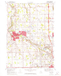
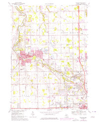
Historical Maps of Flushing Through Time
7 maps found
Featured Locations
- Flint Charter Township, MI
- Flushing, MI
- Flushing Charter Township, MI
- Mount Morris Charter Township, MI
- Clayton Charter Township, MI