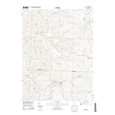
2013 Map of Flushing
USGS Topo · Published 2013About this map
The village of Flushing sits at the heart of this landscape, where the boundary between Harrison and Belmont counties meets. This area of eastern Ohio is defined by a dense network of reservoirs and industrial ponds, such as Brushy Fork Reservoir Number Seven and the B & O Railroad Pond Dam near Holloway, reflecting the region's legacy of coal production and resource management. The terrain is marked by significant landmarks like Reservoir Hill and the Harrison County Airport located near the northern edge.
Find a feature on this map
84 named features on this map. Tap any name to fly to it.
Don’t see what you’re looking for? This feature index may not catch every label — zoom into the map to look around manually.
Map Details
Editions of this 2013 Flushing Map
This is the sole edition of this map. No revisions or reprints were ever made.
Other maps of this area

1901 · Cadiz
USGS Topo · 1:62,500

1902 · Scio
USGS Topo · 1:62,500

1903 · Cadiz
USGS Topo · 1:62,500

1903 · Flushing
USGS Topo · 1:62,500

1904 · Scio
USGS Topo · 1:62,500

1905 · St. Clairsville
USGS Topo · 1:62,500

1905 · Flushing
USGS Topo · 1:62,500

1951 · Canton
USGS Topo · 1:250,000

1953 · Canton
USGS Topo · 1:250,000

1957 · Canton
USGS Topo · 1:250,000