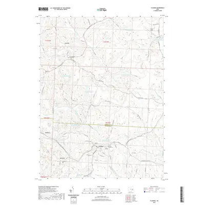
2019 Map of Flushing
USGS Topo · Published 2019About this map
Flushing and Holloway anchor this portion of the Ohio coal country, situated along the undulating border of Harrison and Belmont counties. The landscape is heavily marked by the legacy of resource extraction, with numerous industrial impoundments such as Consolidation Coal Company Pond 0110 and the Georgetown Plant Lower Supply Pond dotting the drainages. These engineered features sit alongside natural waterways like Boggs Fork and Brushy Fork.
Find a feature on this map
79 named features on this map. Tap any name to fly to it.
Don’t see what you’re looking for? This feature index may not catch every label — zoom into the map to look around manually.
Map Details
Editions of this 2019 Flushing Map
This is the sole edition of this map. No revisions or reprints were ever made.
Other maps of this area

1901 · Cadiz
USGS Topo · 1:62,500

1902 · Scio
USGS Topo · 1:62,500

1903 · Cadiz
USGS Topo · 1:62,500

1903 · Flushing
USGS Topo · 1:62,500

1904 · Scio
USGS Topo · 1:62,500

1905 · St. Clairsville
USGS Topo · 1:62,500

1905 · Flushing
USGS Topo · 1:62,500

1951 · Canton
USGS Topo · 1:250,000

1953 · Canton
USGS Topo · 1:250,000

1957 · Canton
USGS Topo · 1:250,000