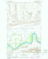
1972 Map of Flynn Creek South
USGS Topo · Published 1989About this map
The Missouri River carves a sweeping path through this northern Montana landscape, marking a significant physical and cultural boundary between Roosevelt, Valley, and McCone counties. Much of the northern terrain is defined by the southern reaches of the Fort Peck Indian Reservation, where the land transitions from high prairie plateaus into the deeply etched coulees of East Fork Flynn Creek and Littleman Creek. The map documents a complex water management system including the Main Canal, which parallels the river bottoms to support local agriculture.
Find a feature on this map
17 named features on this map. Tap any name to fly to it.
Don’t see what you’re looking for? This feature index may not catch every label — zoom into the map to look around manually.
Map Details
Editions of this 1972 Flynn Creek South Map
2 editions found
Other maps of this area

1915 · Oswego
USGS Topo · 1:62,500

1916 · Wolf Point
USGS Topo · 1:62,500

1954 · Glendive
USGS Topo · 1:250,000

1954 · Wolf Point
USGS Topo · 1:250,000

1957 · Glendive
USGS Topo · 1:250,000

1958 · Wolf Point
USGS Topo · 1:250,000

1958 · Glendive
USGS Topo · 1:250,000

1972 · Flynn Creek North
USGS Topo · 1:24,000

1972 · Wolf Point
USGS Topo · 1:24,000
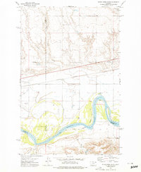
1972 · Flynn Creek South
USGS Topo · 1:24,000
Featured Places
- Wolf Point District, MT
- Prairie Elk Hutterite Colony, MT
- Oswego District, MT
- Roosevelt County, MT
- McCone County, MT