Loading...
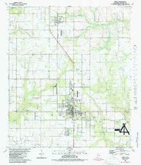
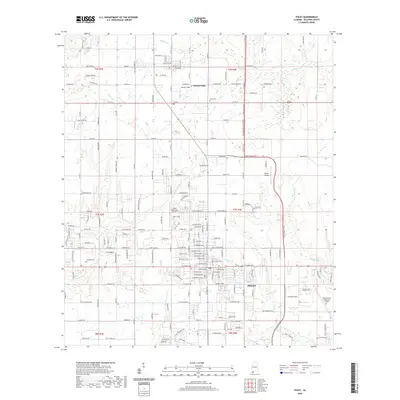
Loading map...1941 Map of Foley
USGS Topo · Published 1974About this map
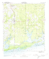
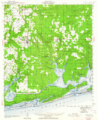
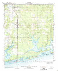
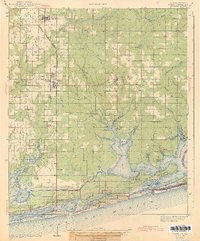
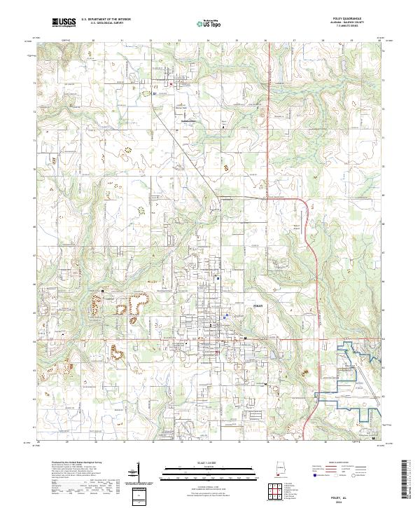
Foley and Summerdale serve as the primary hubs for Baldwin County agricultural and transport activity on the eve of World War II. The Louisville and Nashville Railroad runs a north-south line through the heart of these communities, terminating just south of Foley. The landscape is defined by the complex aquatic network of Wolf Bay and the Intracoastal Waterway, where the mainland transitions into the barrier island features of Gulf State Park.
Find a feature on this map
73 named features on this map. Tap any name to fly to it.
Don’t see what you’re looking for? This feature index may not catch every label — zoom into the map to look around manually.
Map Details
Date Portrayed1941
Date Published1974
PublisherU.S. Geological Survey
Map TypeTopographic
Scale1:62,500
Physical Dimensions18.3 x 21.8 inches
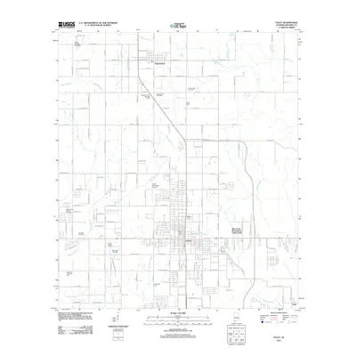
Editions of this 1941 Foley Map
3 editions found
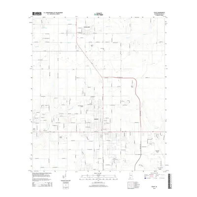
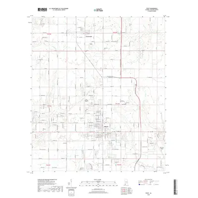
Historical Maps of Foley Through Time
8 maps found
Featured Locations
Source Details
SourceU.S. Geological Survey
CopyrightPublic Domain