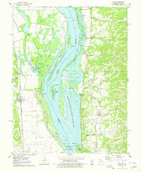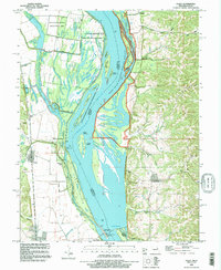
1993 Map of Foley
USGS Topo · Published 1996About this map
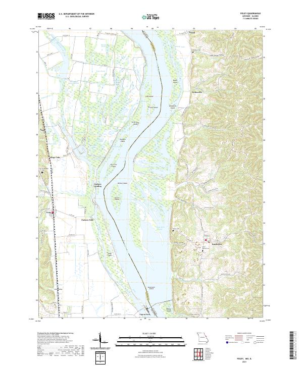
The Mississippi River defines this landscape on the border of Missouri and Illinois, where intricate river navigation meets a complex system of sloughs and conservation lands. The western bank is dominated by the B K Leach Memorial State Conservation Area, a vast wetland network of Ligon Slough, Birch Slough, and numerous ponds such as Clear Pond and Knocker Ponds. Near the Missouri settlement of Foley, the landscape transitions from the protected bottomlands to organized agriculture protected by the Whiteside Levee.
Find a feature on this map
71 named features on this map. Tap any name to fly to it.
Don’t see what you’re looking for? This feature index may not catch every label — zoom into the map to look around manually.
Map Details
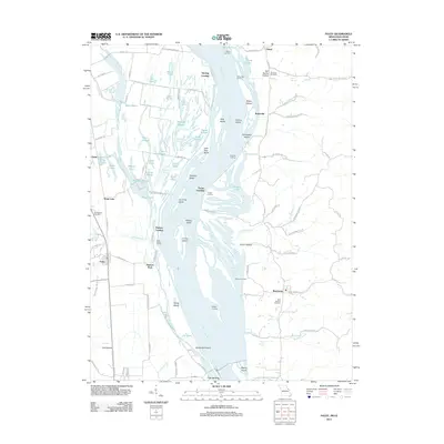
Editions of this 1993 Foley Map
This is the sole edition of this map. No revisions or reprints were ever made.
Historical Maps of Batchtown Through Time
6 maps found