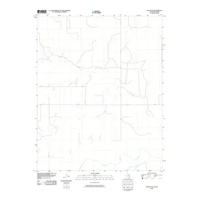
2010 Map of Follett SE
USGS Topo · Published 2010About this map
Mammoth Creek winds through the northern half of this Ellis County landscape, defining the local drainage patterns across a largely rural Oklahoma expanse. The terrain is structured by a grid of county roads and regional routes, most notably FM 3004, which serves as a primary east-west corridor for local traffic. Further south, the map documents the headwaters and tributaries of Wolf Creek and Bridge Creek, reflecting a land shaped by the gradual flow of prairie watercourses. Unlike more densely populated regions, this area maintains its agricultural character with a sparse network of infrastructure. These 2010 survey details, derived from GNIS and National Hydrography Dataset records, provide a clear record of the local transportation and hydrological features including Co RD 27 and Co RD 29 as they connect disparate homesteads and fields.
Find a feature on this map
7 named features on this map. Tap any name to fly to it.
Don’t see what you’re looking for? This feature index may not catch every label — zoom into the map to look around manually.
Map Details
Editions of this 2010 Follett SE Map
This is the sole edition of this map. No revisions or reprints were ever made.
Other maps of this area

1954 · Perryton
USGS Topo · 1:250,000

1955 · Woodward
USGS Topo · 1:250,000

1958 · Perryton
USGS Topo · 1:250,000

1958 · Woodward
USGS Topo · 1:250,000

1969 · Shattuck
USGS Topo · 1:24,000

1969 · Shattuck NW
USGS Topo · 1:24,000

1970 · Goodwin
USGS Topo · 1:24,000

1972 · Follett SE
USGS Topo · 1:24,000

1972 · Skunk Creek
USGS Topo · 1:24,000
1972 · Magoun
USGS Topo · 1:24,000