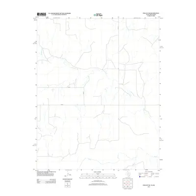
2012 Map of Follett SE
USGS Topo · Published 2012About this map
Wolf Cr and Mammoth Cr define the hydrological character of this landscape in Ellis County, where the High Plains transition toward the Canadian River drainage system. The drainage patterns of these creeks, including the southward-flowing Bridge Cr, dictate the sparse distribution of rural infrastructure. The mapping reveals a geometric grid of county roads, such as Co Rd N, Co Rd 27, and Co Rd 29, which provide access to the remote ranching and oil-producing lands of the eastern Panhandle region. Apart from the established route of Fm-3004, the map shows a landscape largely shaped by the natural contours of the drainage breaks, illustrating the intersection of modern petroleum and agricultural management with the existing topography of the Oklahoma-Texas borderlands.
Find a feature on this map
7 named features on this map. Tap any name to fly to it.
Don’t see what you’re looking for? This feature index may not catch every label — zoom into the map to look around manually.
Map Details
Editions of this 2012 Follett SE Map
This is the sole edition of this map. No revisions or reprints were ever made.
Other maps of this area

1954 · Perryton
USGS Topo · 1:250,000

1955 · Woodward
USGS Topo · 1:250,000

1958 · Perryton
USGS Topo · 1:250,000

1958 · Woodward
USGS Topo · 1:250,000

1969 · Shattuck
USGS Topo · 1:24,000

1969 · Shattuck NW
USGS Topo · 1:24,000

1970 · Goodwin
USGS Topo · 1:24,000

1972 · Follett SE
USGS Topo · 1:24,000

1972 · Skunk Creek
USGS Topo · 1:24,000
1972 · Magoun
USGS Topo · 1:24,000