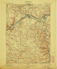
1902 Map of Fonda
USGS Topo · Published 1905About this map
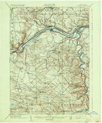
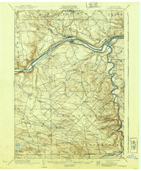
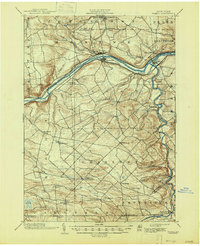
The Mohawk River corridor defines this late 19th-century landscape, serving as a busy industrial and transportation artery through the heart of Montgomery County. This survey, conducted in the 1890s, documents the simultaneous operation of the Erie Canal alongside major rail lines like the New York Central and Hudson River and the West Shore R. R. The map captures the importance of river-adjacent settlements such as Fonda, Fultonville, and Fort Hunter, where the canal and rail networks intersected. Moving south of the river, the terrain rises into the rural townships of Glen and Charleston, where a network of smaller creeks like Yatesville Creek and Auries Creek drain the uplands. Genealogists will find a wealth of specific locale names, from the crossroads of Charleston Four Corners to the hamlet of Sammonsville in the north and Sloansville at the Schoharie County border.
Find a feature on this map
51 named features on this map. Tap any name to fly to it.
Don’t see what you’re looking for? This feature index may not catch every label — zoom into the map to look around manually.
Map Details
Editions of this 1902 Fonda Map
8 editions found

Other maps of this area

1895 · Amsterdam
USGS Topo · 1:62,500

1896 · Fonda
USGS Topo · 1:62,500

1898 · Fonda
USGS Topo · 1:62,500

1898 · Canajoharie
USGS Topo · 1:62,500

1898 · Schoharie
USGS Topo · 1:62,500

1899 · Broadalbin
USGS Topo · 1:62,500

1900 · Canajoharie
USGS Topo · 1:62,500

1900 · Schoharie
USGS Topo · 1:62,500

1900 · Schoharie
USGS Topo · 1:31,680

1900 · Berne
USGS Topo · 1:62,500