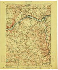
1902 Map of Fonda
USGS Topo · Published 1915About this map
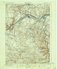
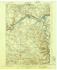
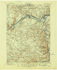
Mohawk River commerce and transport define this turn-of-the-century landscape, where the Erie Canal runs parallel to the New York Central and Hudson River and West Shore railroads. This industrial corridor links the hubs of Fonda and Fultonville, which face each other across the river, while smaller settlements like Tribes Hill and Fort Hunter mark the eastern reaches. Further south, the terrain transitions into a more rural, elevated district characterized by numerous small creeks and crossroad communities such as Charleston Four Corners and Rural Grove.
Find a feature on this map
56 named features on this map. Tap any name to fly to it.
Don’t see what you’re looking for? This feature index may not catch every label — zoom into the map to look around manually.
Map Details
Editions of this 1902 Fonda Map
8 editions found

Other maps of this area

1895 · Amsterdam
USGS Topo · 1:62,500

1896 · Fonda
USGS Topo · 1:62,500

1898 · Fonda
USGS Topo · 1:62,500

1898 · Canajoharie
USGS Topo · 1:62,500

1898 · Schoharie
USGS Topo · 1:62,500

1899 · Broadalbin
USGS Topo · 1:62,500

1900 · Canajoharie
USGS Topo · 1:62,500

1900 · Schoharie
USGS Topo · 1:62,500

1900 · Schoharie
USGS Topo · 1:31,680

1900 · Berne
USGS Topo · 1:62,500