
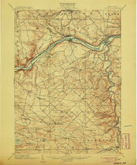
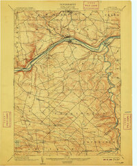
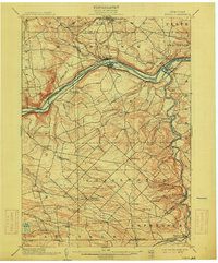
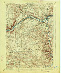
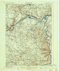
1902 Map of Fonda
USGS Topo · Published 1939About this map
The Mohawk River valley serves as a bustling corridor of transportation and trade in this 1890s-era reconnaissance survey. The industrial and transit importance of Fonda and Fultonville is clear, as the New York Central and Hudson River and West Shore railroads parallel the historic Erie Canal along the valley floor. This confluence of rail and water travel supported diverse riverside settlements such as Tribes Hill, Auriesville, and Fort Hunter, the latter marking the critical junction where the Schoharie Creek meets the Mohawk.
Find a feature on this map
55 named features on this map. Tap any name to fly to it.
Don’t see what you’re looking for? This feature index may not catch every label — zoom into the map to look around manually.
Map Details
Editions of this 1902 Fonda Map
8 editions found

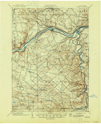
Other maps of this area

1895 · Amsterdam
USGS Topo · 1:62,500

1896 · Fonda
USGS Topo · 1:62,500

1898 · Fonda
USGS Topo · 1:62,500

1898 · Canajoharie
USGS Topo · 1:62,500

1898 · Schoharie
USGS Topo · 1:62,500

1899 · Broadalbin
USGS Topo · 1:62,500

1900 · Canajoharie
USGS Topo · 1:62,500

1900 · Schoharie
USGS Topo · 1:62,500

1900 · Schoharie
USGS Topo · 1:31,680

1900 · Berne
USGS Topo · 1:62,500