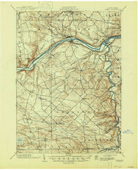
1902 Map of Fonda
USGS Topo · Published 1947About this map
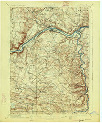
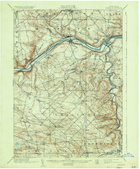
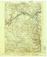
The Mohawk River corridor dominates this late 19th-century survey, revealing a landscape defined by the parallel paths of the Erie Canal and two major rail lines. The New York Central and Hudson River RR and the West Shore RR hug the riverbanks, connecting industrial hubs like Fonda and Fultonville. This proximity of water and rail transport illustrates the Mohawk Valley's role as a critical artery for New York commerce.
Find a feature on this map
52 named features on this map. Tap any name to fly to it.
Don’t see what you’re looking for? This feature index may not catch every label — zoom into the map to look around manually.
Map Details
Editions of this 1902 Fonda Map
8 editions found

Other maps of this area

1895 · Amsterdam
USGS Topo · 1:62,500

1896 · Fonda
USGS Topo · 1:62,500

1898 · Fonda
USGS Topo · 1:62,500

1898 · Canajoharie
USGS Topo · 1:62,500

1898 · Schoharie
USGS Topo · 1:62,500

1899 · Broadalbin
USGS Topo · 1:62,500

1900 · Canajoharie
USGS Topo · 1:62,500

1900 · Schoharie
USGS Topo · 1:62,500

1900 · Schoharie
USGS Topo · 1:31,680

1900 · Berne
USGS Topo · 1:62,500