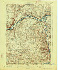
1902 Map of Fonda
USGS Topo · Published 1926About this map
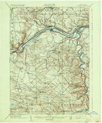
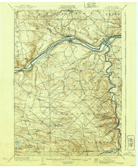
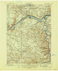
The Mohawk River corridor serves as the industrial and transportation backbone of this central New York landscape during the late nineteenth century. The twin settlements of Fonda and Fultonville face each other across the water, joined by a density of infrastructure including the Erie Canal, the New York Central and Hudson River railroad, and the West Shore line. This concentration of transit underscores the region's role as a primary gateway between the Atlantic and the Great Lakes, while smaller industrial markers like the Cayadutta Electric railway suggest the early electrification of local travel near Sammonsville.
Find a feature on this map
51 named features on this map. Tap any name to fly to it.
Don’t see what you’re looking for? This feature index may not catch every label — zoom into the map to look around manually.
Map Details
Editions of this 1902 Fonda Map
8 editions found

Other maps of this area

1895 · Amsterdam
USGS Topo · 1:62,500

1896 · Fonda
USGS Topo · 1:62,500

1898 · Fonda
USGS Topo · 1:62,500

1898 · Canajoharie
USGS Topo · 1:62,500

1898 · Schoharie
USGS Topo · 1:62,500

1899 · Broadalbin
USGS Topo · 1:62,500

1900 · Canajoharie
USGS Topo · 1:62,500

1900 · Schoharie
USGS Topo · 1:62,500

1900 · Schoharie
USGS Topo · 1:31,680

1900 · Berne
USGS Topo · 1:62,500