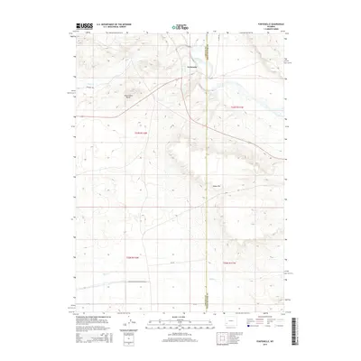
2015 Map of Fontenelle
USGS Topo · Published 2015About this map
Green River flows through this southwestern Wyoming landscape, marking a historic corridor of travel and trade along the border of Lincoln and Sweetwater counties. The small settlement of Fontenelle is situated on the river's western bank, serving as a focal point in a region defined by high-elevation landforms like Slate Creek Butte and the steep elevation change of Dodge Rim.
Find a feature on this map
18 named features on this map. Tap any name to fly to it.
Don’t see what you’re looking for? This feature index may not catch every label — zoom into the map to look around manually.
Map Details
Editions of this 2015 Fontenelle Map
This is the sole edition of this map. No revisions or reprints were ever made.
Other maps of this area

1954 · Ogden
USGS Topo · 1:250,000

1954 · Rock Springs
USGS Topo · 1:250,000

1955 · Preston
USGS Topo · 1:250,000

1955 · Lander
USGS Topo · 1:250,000

1958 · Lander
USGS Topo · 1:250,000

1958 · Ogden
USGS Topo · 1:250,000

1958 · Rock Springs
USGS Topo · 1:250,000

1958 · Preston
USGS Topo · 1:250,000

1960 · Ogden
USGS Topo · 1:250,000

1961 · Lander
USGS Topo · 1:250,000