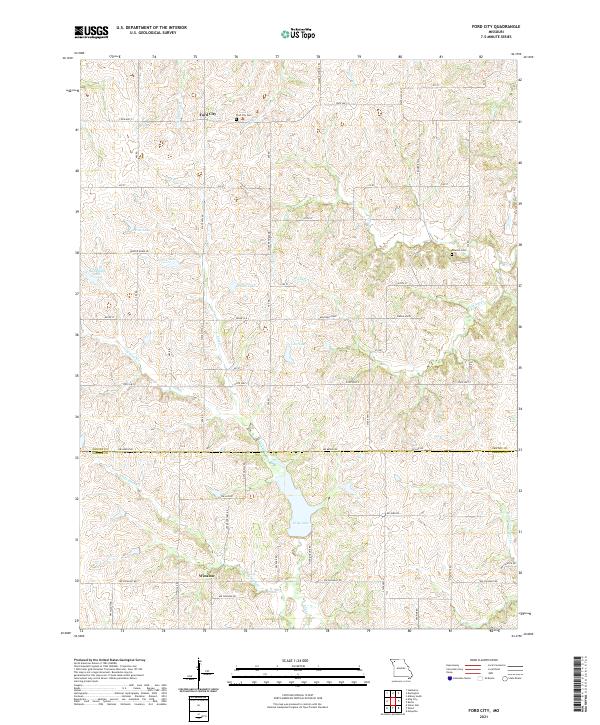
2021 Map of Ford City
USGS Topo · Published 2021About this map
Ford City and the settlement of Winslow anchor this landscape along the border of Gentry and DeKalb counties. The terrain is defined by a dense network of waterways, including Lost Cr, Hickory Cr, and Sandy Hook Cr, which feed numerous local reservoirs. These water bodies, such as Pate Lake, Turpin Lake, and King Lake, illustrate the region's managed water resources and agricultural character.
Find a feature on this map
45 named features on this map. Tap any name to fly to it.
Don’t see what you’re looking for? This feature index may not catch every label — zoom into the map to look around manually.
Map Details
Editions of this 2021 Ford City Map
This is the sole edition of this map. No revisions or reprints were ever made.
Other maps of this area

1923 · Clarksdale
USGS Topo · 1:62,500

1923 · Maysville
USGS Topo · 1:62,500

1925 · Clarksdale
USGS Topo · 1:62,500

1925 · Stanberry
USGS Topo · 1:62,500

1925 · Maysville
USGS Topo · 1:62,500

1925 · Darlington
USGS Topo · 1:62,500

1939 · Stanberry
USGS Topo · 1:62,500

1943 · Stanberry
USGS Topo · 1:62,500

1950 · Kansas City
USGS Topo · 1:250,000

1950 · Darlington
USGS Topo · 1:62,500