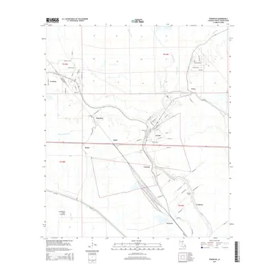
2015 Map of Fordoche
USGS Topo · Published 2015About this map
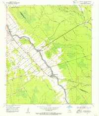
Livonia and Fordoche anchor this portion of Pointe Coupee Parish, where the complex hydrology of the Louisiana basin defines the human landscape. The intricate network of winding waterways, including Bayou Grosse Tete and Bayou Blue, dictates the placement of settlements and transport corridors. The western edge of the map is dominated by the Atchafalaya Basin Floodway, guarded by the prominent Levee Rd, illustrating the region's long-standing relationship with water management.
Find a feature on this map
77 named features on this map. Tap any name to fly to it.
Don’t see what you’re looking for? This feature index may not catch every label — zoom into the map to look around manually.
Map Details
Editions of this 2015 Fordoche Map
This is the sole edition of this map. No revisions or reprints were ever made.
Other maps of this area

1906 · Bayou Sara
USGS Topo · 1:125,000
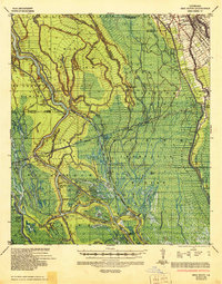
1935 · Osca Bayou
USGS Topo · 1:62,500
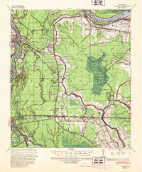
1939 · Fordoche
USGS Topo · 1:62,500
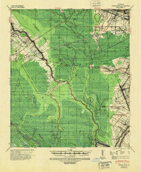
1940 · Grosse Tete
USGS Topo · 1:62,500
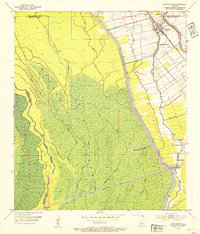
1953 · Maringouin
USGS Topo · 1:24,000
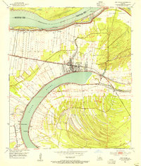
1953 · New Roads
USGS Topo · 1:24,000
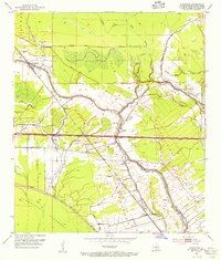
1954 · Fordoche
USGS Topo · 1:24,000
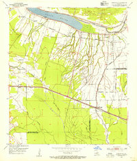
1954 · Erwinville
USGS Topo · 1:24,000
1954 · Grosse Tete
USGS Topo · 1:24,000

1954 · Baton Rouge
USGS Topo · 1:250,000