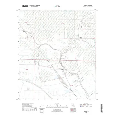
2018 Map of Fordoche
USGS Topo · Published 2018About this map
Livonia and the surrounding Pointe Coupee Parish landscape are defined by the intricate network of bayous and low-lying wetlands that characterize this portion of the Louisiana basin. The settlement pattern follows the high ground along Bayou Grosse Tete, where communities like Valverda, Quick, and Blanks are situated. To the west, the massive Atchafalaya Basin Floodway dominates the terrain, marking a sharp transition from the settled agricultural and residential lands to the managed swamp drainage system. Local history is preserved in sites such as False River Cem near River Station Rd and the Bailey Cem in the heart of Livonia. The map also traces the smaller waterways that feed the basin, including Bayou Blue, Bayou Portage, and Bayou Tommy, which dictate the winding paths of rural roads like Fordoche Rd.
Find a feature on this map
73 named features on this map. Tap any name to fly to it.
Don’t see what you’re looking for? This feature index may not catch every label — zoom into the map to look around manually.
Map Details
Editions of this 2018 Fordoche Map
This is the sole edition of this map. No revisions or reprints were ever made.
Other maps of this area

1906 · Bayou Sara
USGS Topo · 1:125,000

1935 · Osca Bayou
USGS Topo · 1:62,500

1939 · Fordoche
USGS Topo · 1:62,500

1940 · Grosse Tete
USGS Topo · 1:62,500

1953 · Maringouin
USGS Topo · 1:24,000

1953 · New Roads
USGS Topo · 1:24,000

1954 · Fordoche
USGS Topo · 1:24,000

1954 · Erwinville
USGS Topo · 1:24,000

1954 · Grosse Tete
USGS Topo · 1:24,000

1954 · Baton Rouge
USGS Topo · 1:250,000