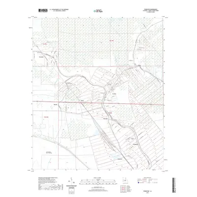
2020 Map of Fordoche
USGS Topo · Published 2020About this map
Bayou Grosse Tete winds through this Pointe Coupee Parish landscape, anchoring a network of bayous and settlements that define the region's historical geography. The map captures a transition from the structured land divisions of the Atchafalaya Basin Floodway in the southwest to the dense ribbon of development along LA Highway 78 and the riverbanks. Local history is well-preserved through numerous family-named landmarks and historical burial grounds, including False River Station Cem, Saint Francis Cabrini Cem, and Bailey Cem.
Find a feature on this map
74 named features on this map. Tap any name to fly to it.
Don’t see what you’re looking for? This feature index may not catch every label — zoom into the map to look around manually.
Map Details
Editions of this 2020 Fordoche Map
This is the sole edition of this map. No revisions or reprints were ever made.
Other maps of this area

1906 · Bayou Sara
USGS Topo · 1:125,000

1935 · Osca Bayou
USGS Topo · 1:62,500

1939 · Fordoche
USGS Topo · 1:62,500

1940 · Grosse Tete
USGS Topo · 1:62,500

1953 · Maringouin
USGS Topo · 1:24,000

1953 · New Roads
USGS Topo · 1:24,000

1954 · Fordoche
USGS Topo · 1:24,000

1954 · Erwinville
USGS Topo · 1:24,000

1954 · Grosse Tete
USGS Topo · 1:24,000

1954 · Baton Rouge
USGS Topo · 1:250,000