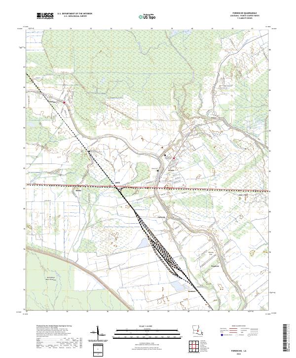
2024 Map of Fordoche
USGS Topo · Published 2024About this map
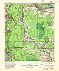
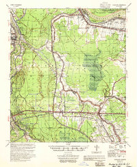
Livonia and Fordoche anchor this landscape where the engineered control of the Atchafalaya Basin Floodway meets the winding natural courses of the Louisiana lowlands. The settlement pattern follows the high ground along Bayou Grosse Tete, a corridor defined by a sequence of named communities including Valverda, Frogmore, and Kenmore. This area is characterized by a dense network of local roads and family-named lanes, such as Viola St and Giordano, which reflect the long-standing agricultural and residential partitions of Pointe Coupee Parish.
Find a feature on this map
74 named features on this map. Tap any name to fly to it.
Don’t see what you’re looking for? This feature index may not catch every label — zoom into the map to look around manually.
Map Details
Editions of this 2024 Fordoche Map
This is the sole edition of this map. No revisions or reprints were ever made.
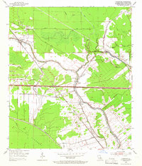
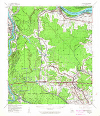
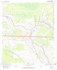
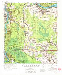
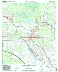
Historical Maps of Valverda Through Time
8 maps found