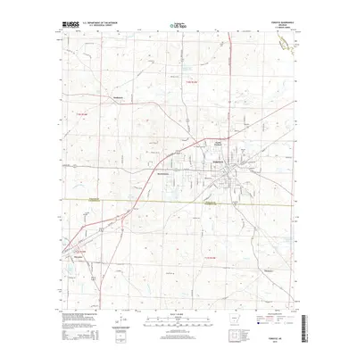
2014 Map of Fordyce
USGS Topo · Published 2014About this map
Fordyce sits at the heart of this Dallas County landscape, serving as a primary hub where regional roads and township boundaries converge. The town's grid extends into North Fordyce, while the surrounding timberlands and creek bottoms are marked by smaller communities like Thornton and Bucksnort. Several family and community burial grounds, including Oakland Cem and Greenville Cem, provide key points of reference for local genealogy and history.
Find a feature on this map
78 named features on this map. Tap any name to fly to it.
Don’t see what you’re looking for? This feature index may not catch every label — zoom into the map to look around manually.
Map Details
Editions of this 2014 Fordyce Map
This is the sole edition of this map. No revisions or reprints were ever made.
Other maps of this area
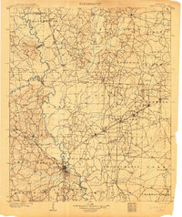
1903 · Camden
USGS Topo · 1:125,000

1953 · El Dorado
USGS Topo · 1:250,000

1957 · El Dorado
USGS Topo · 1:250,000

1958 · El Dorado
USGS Topo · 1:250,000

1960 · El Dorado
USGS Topo · 1:250,000
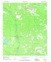
1966 · Kingsland
USGS Topo · 1:24,000
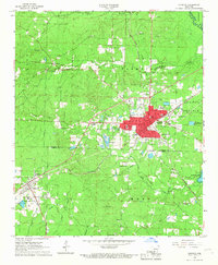
1966 · Fordyce
USGS Topo · 1:24,000
1969 · Ivan
USGS Topo · 1:24,000
1970 · Fordyce NE
USGS Topo · 1:24,000
1973 · Bearden
USGS Topo · 1:24,000