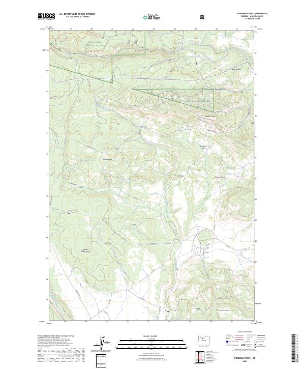
2024 Map of Foreman Point
USGS Topo · Published 2024About this map
Mount Hood National Forest and the surrounding high country define this portion of Wasco County. The map details a landscape carved by intricate drainage systems including McCubbins Gulch and Byzantine Gulch, which feed into the larger Coyote Creek and Beaver Creek networks. The high ridges of the Laughlin Hills transition into plateaus like Sunflower Flat and the expansive Beaver Creek Prairie.
Find a feature on this map
55 named features on this map. Tap any name to fly to it.
Don’t see what you’re looking for? This feature index may not catch every label — zoom into the map to look around manually.
Map Details
Editions of this 2024 Foreman Point Map
This is the sole edition of this map. No revisions or reprints were ever made.
Other maps of this area

1924 · Mount Hood
USGS Topo · 1:125,000

1927 · Mount Hood
USGS Topo · 1:125,000

1927 · Mt. Jefferson
USGS Topo · 1:125,000

1928 · Madras
USGS Topo · 1:125,000

1930 · Mt. Jefferson
USGS Topo · 1:125,000

1930 · Dufur
USGS Topo · 1:125,000

1931 · Madras
USGS Topo · 1:125,000

1934 · Dufur
USGS Topo · 1:125,000

1953 · The Dalles
USGS Topo · 1:250,000

1955 · Bend
USGS Topo · 1:250,000