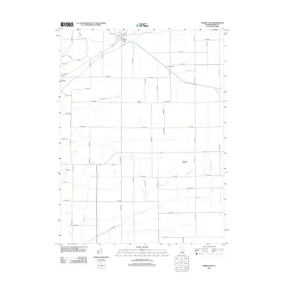
2012 Map of Forest City
USGS Topo · Published 2012About this map
Forest City and the small community of Bishop anchor this survey of rural Mason County, defined by a sophisticated system of agricultural drainage that transformed the prairie into productive farmland. The landscape is crisscrossed by essential water management features such as North Quiver Ditch, Central Ditch, and Hardin Ditch, which redirect water across the flat terrain.
Find a feature on this map
60 named features on this map. Tap any name to fly to it.
Don’t see what you’re looking for? This feature index may not catch every label — zoom into the map to look around manually.
Map Details
Editions of this 2012 Forest City Map
This is the sole edition of this map. No revisions or reprints were ever made.
Other maps of this area

1929 · Manito
USGS Topo · 1:62,500

1932 · Manito
USGS Topo · 1:62,500

1933 · Petersburg
USGS Topo · 1:62,500

1938 · Petersburg
USGS Topo · 1:62,500

1942 · Delavan
USGS Topo · 1:62,500

1948 · Mason City
USGS Topo · 1:62,500

1949 · Mason City
USGS Topo · 1:62,500

1958 · Peoria
USGS Topo · 1:250,000

1961 · Peoria
USGS Topo · 1:250,000

1963 · Peoria
USGS Topo · 1:250,000