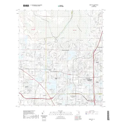
2021 Map of Forest City
USGS Topo · Published 2021About this map
Wekiwa Springs State Park and the Rock Springs Run State Reserve dominate the northern landscape of this region, preserving the lush wetlands of the Wekiwa Swamp. The intricate hydrology of the area is defined by the Wekiwa River and the Little Wekiwa River, which are complemented by numerous named lakes such as Lake Brantley, Bear Lake, and Pearl Lake.
Find a feature on this map
246 named features on this map. Tap any name to fly to it.
Don’t see what you’re looking for? This feature index may not catch every label — zoom into the map to look around manually.
Map Details
Editions of this 2021 Forest City Map
This is the sole edition of this map. No revisions or reprints were ever made.
Other maps of this area

1955 · Orlando
USGS Topo · 1:250,000
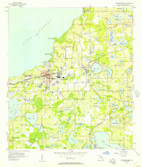
1956 · Winter Garden
USGS Topo · 1:24,000
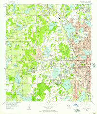
1956 · Orlando West
USGS Topo · 1:24,000
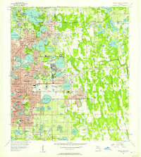
1956 · Orlando East
USGS Topo · 1:24,000

1957 · Orlando
USGS Topo · 1:250,000

1958 · Orlando
USGS Topo · 1:250,000
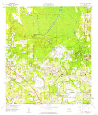
1959 · Forest City
USGS Topo · 1:24,000
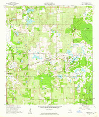
1960 · Sorrento
USGS Topo · 1:24,000
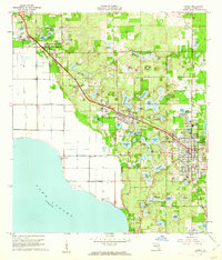
1960 · Apopka
USGS Topo · 1:24,000
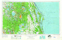
1962 · Orlando
USGS Topo · 1:250,000