
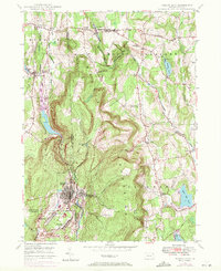
1946 Map of Forest City
USGS Topo · Published 1966About this map
The Moosic Mountains dominate this region at the intersection of Susquehanna, Wayne, and Lackawanna counties. In the south, Forest City serves as the primary urban hub, with its street grid nestled between the Lackawanna River and the hills. This post-war landscape reveals a mix of industrial and agricultural life, where the Erie RR and the New York Ontario and Western RR support the local economy. Northward, the terrain transitions into a series of smaller crossroads settlements such as Uniondale, Herrick Center, and Belmont Corner.
Find a feature on this map
40 named features on this map. Tap any name to fly to it.
Don’t see what you’re looking for? This feature index may not catch every label — zoom into the map to look around manually.
Map Details
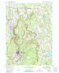
Editions of this 1946 Forest City Map
Other maps of this area

1892 · Honesdale
USGS Topo · 1:62,500

1892 · Dundaff
USGS Topo · 1:62,500

1926 · Starrucca
USGS Topo · 1:62,500

1930 · Starrucca
USGS Topo · 1:48,000

1932 · Susquehanna
USGS Topo · 1:62,500

1933 · Starrucca
USGS Topo · 1:62,500

1935 · Susquehanna
USGS Topo · 1:62,500

1943 · Honesdale
USGS Topo · 1:125,000

1946 · Carbondale
USGS Topo · 1:24,000

1946 · Honesdale
USGS Topo · 1:24,000