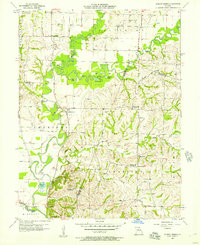
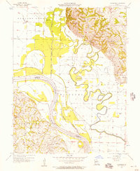
1956 Map of Forest Green
USGS Topo · Published 1957About this map
The Little Chariton River and its complex network of forks define the rural character of this central Missouri landscape in the mid-1950s. The settlement of Forest Green serves as a central point in an area where the transition of rural education is starkly visible; the map documents several decommissioned local landmarks including Heiman Sch, Bawker Sch, and Nordmeyer Sch. These sites, along with Lewis Mill and the Marian Hill Ch near the southern boundary, indicate a community deeply rooted in the river valleys and bottomlands.
Find a feature on this map
39 named features on this map. Tap any name to fly to it.
Don’t see what you’re looking for? This feature index may not catch every label — zoom into the map to look around manually.
Map Details
Editions of this 1956 Forest Green Map
2 editions found
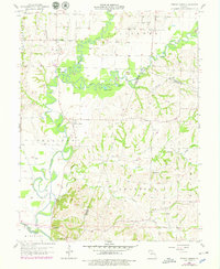
Other maps of this area

1890 · Glasgow
USGS Topo · 1:125,000

1947 · Glasgow
USGS Topo · 1:62,500

1953 · Moberly
USGS Topo · 1:250,000

1953 · Fayette
USGS Topo · 1:24,000

1953 · Armstrong
USGS Topo · 1:24,000

1953 · Clifton Hill
USGS Topo · 1:24,000

1954 · Moberly
USGS Topo · 1:250,000
1956 · Salisbury
USGS Topo · 1:24,000
1956 · Keytesville
USGS Topo · 1:24,000
1956 · Cambridge
USGS Topo · 1:24,000