1982 Map of Forest
USGS Topo · Published 1983About this map
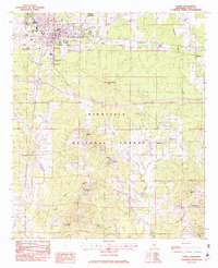
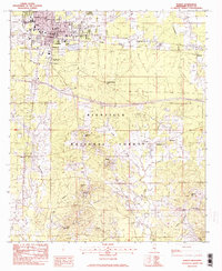
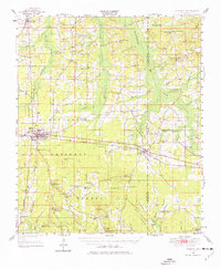
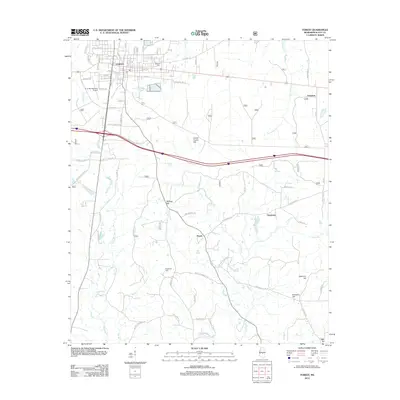
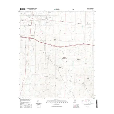
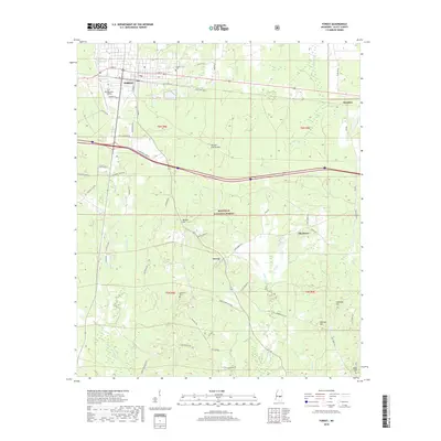
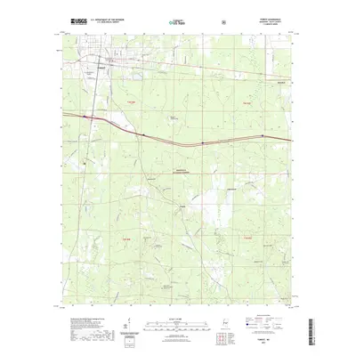
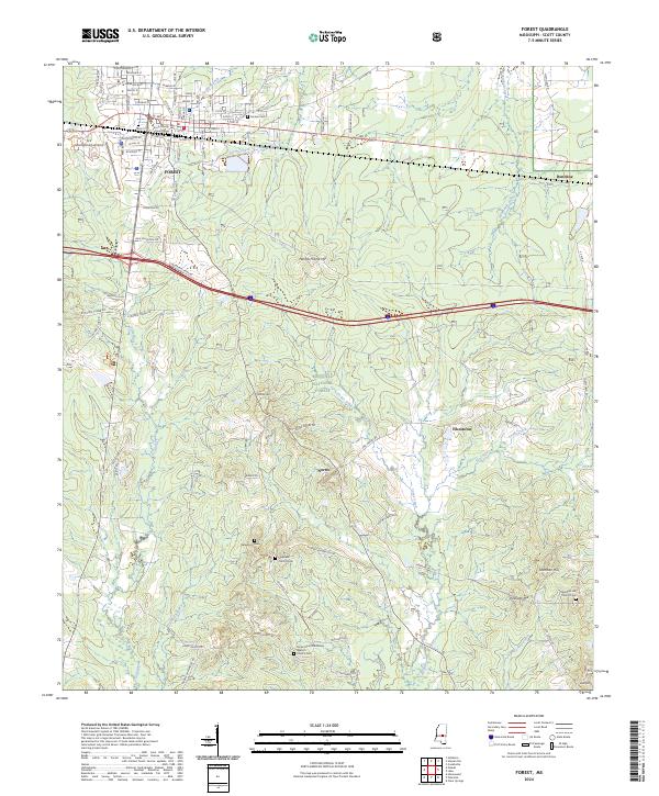
Forest serves as the primary hub of this early 1980s landscape, where the Illinois Central Gulf railroad corridor cuts through the northern reaches of the Bienville National Forest. The town's infrastructure is well-defined, featuring the Forest Municipal Airport, an Armory, and multiple educational sites like High Sch and Hawkins Sch. South of the municipal center, the terrain transitions into a dense network of forest land marked by family-named high points such as Mathes Hill and Sherman Hill.
Find a feature on this map
39 named features on this map. Tap any name to fly to it.
Don’t see what you’re looking for? This feature index may not catch every label — zoom into the map to look around manually.
Map Details
Editions of this 1982 Forest Map
2 editions found
Historical Maps of Forest Through Time
12 maps found
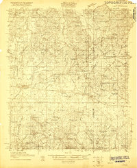
1921 Forest
Scott County, MS
1922 Forest
Scott County, MS
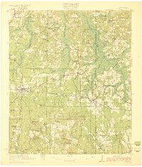
1950 Forest
Scott County, MS
1952 Forest
Scott County, MS
1982 Forest
Scott County, MS
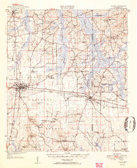
1984 Forest
Scott County, MS
2000 Forest
Scott County, MS
2012 Forest
Scott County, MS
2015 Forest
Scott County, MS
2018 Forest
Scott County, MS
2021 Forest
Scott County, MS
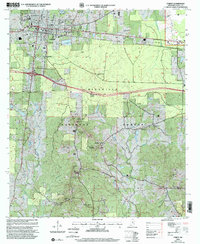
2024 Forest
Scott County, MS