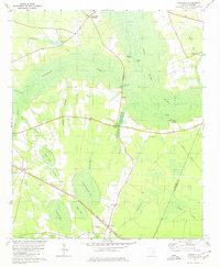
1979 Map of Foreston
USGS Topo · Published 1980About this map
The Black River Swamp and the Pocotaligo River dominate this low-lying landscape in the late 1970s, where small agricultural settlements are interspersed among numerous Carolina bays. These elliptical depressions, such as Little Junkyard Bay, Guise Bay, and Tiger Bay, create a unique mosaic of wetlands and timber across the coastal plain. The Seaboard Coast Line railroad cuts a diagonal path through the terrain, serving the village of Foreston and the community at Wilson.
Find a feature on this map
41 named features on this map. Tap any name to fly to it.
Don’t see what you’re looking for? This feature index may not catch every label — zoom into the map to look around manually.
Map Details
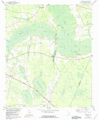
Editions of this 1979 Foreston Map
2 editions found
Other maps of this area

1920 · Mayesville
USGS Topo · 1:48,000

1920 · Manning
USGS Topo · 1:48,000

1921 · Manning
USGS Topo · 1:62,500

1921 · Mayesville
USGS Topo · 1:62,500

1943 · Mayesville
USGS Topo · 1:62,500

1944 · Manning
USGS Topo · 1:62,500

1946 · Kingstree
USGS Topo · 1:62,500

1946 · Lake City
USGS Topo · 1:62,500

1949 · Georgetown
USGS Topo · 1:250,000

1954 · Augusta
USGS Topo · 1:250,000