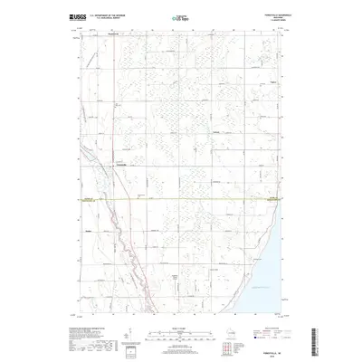
2018 Map of Forestville
USGS Topo · Published 2018About this map
Lake Michigan forms the eastern boundary of this coastal landscape where the agricultural fields of Door County meet the northern edge of Kewaunee County. The Ahnapee River winds through the southern terrain, creating a significant natural corridor that is paralleled by the Ice Age National Scenic Trail, which provides a continuous path for exploration through the village of Forestville. This area is characterized by a network of small rural crossroads and settlements such as Maplewood, Carnot, and Vignes, each linked by a grid of county roads.
Find a feature on this map
75 named features on this map. Tap any name to fly to it.
Don’t see what you’re looking for? This feature index may not catch every label — zoom into the map to look around manually.
Map Details
Editions of this 2018 Forestville Map
This is the sole edition of this map. No revisions or reprints were ever made.
Other maps of this area

1952 · Casco
USGS Topo · 1:62,500

1954 · Manitowoc
USGS Topo · 1:250,000

1958 · Manitowoc
USGS Topo · 1:250,000

1960 · Sturgeon Bay
USGS Topo · 1:62,500

1960 · Algoma
USGS Topo · 1:62,500

1961 · Little Sturgeon
USGS Topo · 1:62,500

1978 · Casco
USGS Topo · 1:24,000

1978 · Brussels
USGS Topo · 1:24,000

1981 · Sturgeon Bay West
USGS Topo · 1:24,000
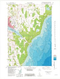
1981 · Sturgeon Bay East
USGS Topo · 1:24,000