2022 Map of Forestville
USGS Topo · Published 2022About this map
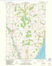
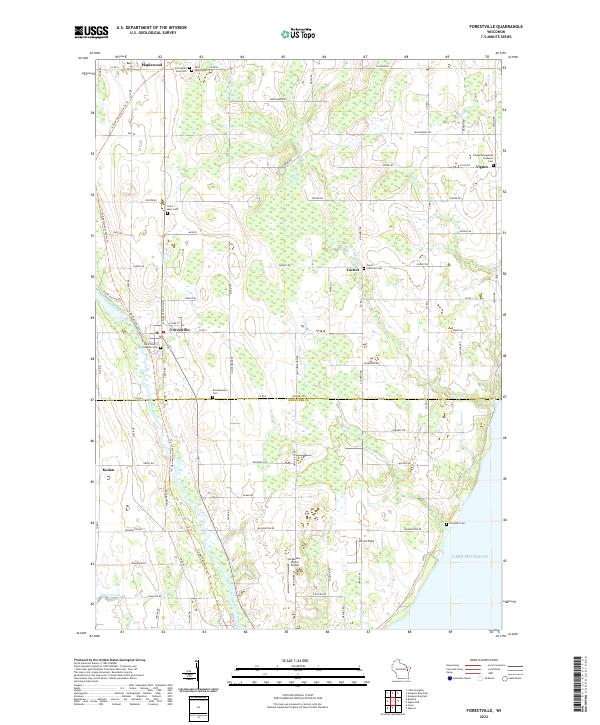
The Ahnapee River meanders through the heart of the Wisconsin peninsula, defining the rural character of this landscape at the border of Door Co and Kewaunee Co. Settlement is concentrated around Forestville, where the river valley creates a natural corridor for local development and historical community centers. The map reveals a dense network of country cemeteries, such as Forestville Town Cem and Saint Peter's Lutheran Cem, which serve as vital markers for genealogical research in this largely agricultural region. Smaller hamlets like Maplewood, Carnot, and Kodan anchor the surrounding farmsteads. To the east, the terrain transitions toward the shoreline of Lake Michigan, while landmarks like the Jorgensen - Stoller Airport and Carnot Field highlight the integration of modern infrastructure into the traditional grid of township and range lines.
Find a feature on this map
81 named features on this map. Tap any name to fly to it.
Don’t see what you’re looking for? This feature index may not catch every label — zoom into the map to look around manually.
Map Details
Editions of this 2022 Forestville Map
This is the sole edition of this map. No revisions or reprints were ever made.