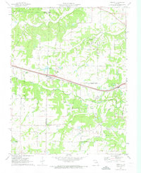
1972 Map of Foristell
USGS Topo · Published 1973About this map
The town of Foristell sits at the intersection of local history and regional transit, positioned on the Norfolk and Western rail line at the tri-county border of Warren, Lincoln, and St. Charles. This early 1970s landscape is characterized by a network of family-named roads, such as Jarvis Road and Hepperman Road, which connect rural farmsteads to smaller settlements like Pauldingville. The map captures a moment when traditional agrarian patterns, evidenced by the Pauldingville Cem and Oak Grove Cem, coexisted with modern additions like the Mid America Raceway and the Valleroy Landing Field. Significant waterways including Peruque Creek and Indian Camp Creek define the local topography, while multiple claypits scattered across the township indicate the persistence of local extraction industries during this era.
Find a feature on this map
46 named features on this map. Tap any name to fly to it.
Don’t see what you’re looking for? This feature index may not catch every label — zoom into the map to look around manually.
Map Details
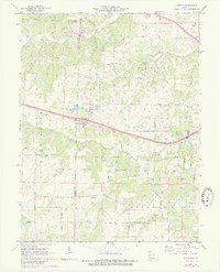
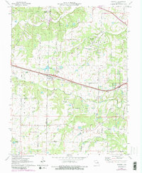
Editions of this 1972 Foristell Map
3 editions found
Other maps of this area

1890 · Hermann
USGS Topo · 1:125,000

1903 · O'Fallon
USGS Topo · 1:125,000

1941 · Troy
USGS Topo · 1:62,500

1943 · Warrenton
USGS Topo · 1:62,500

1945 · Troy
USGS Topo · 1:62,500

1945 · Warrenton
USGS Topo · 1:62,500

1948 · Washington
USGS Topo · 1:62,500

1948 · Augusta
USGS Topo · 1:62,500

1949 · Saint Louis
USGS Topo · 1:250,000
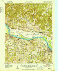
1949 · Washington
USGS Topo · 1:62,500