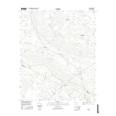
2017 Map of Fork
USGS Topo · Published 2017About this map
Fork and Smithboro anchor the southeastern portion of this landscape where the Dillon Co Marion Co line bisects the lowlands. The geography is defined by a dense network of blackwater drainages and Carolina bays, including the sprawling Buck Swamp and Little Pee Dee River. These water features dictated the placement of small rural settlements like Zion and Floydale, which sit on slightly higher ground between the swampy basins. Numerous family and community burial grounds, such as Hopewell Cem and Bermuda Cem, are scattered throughout, providing valuable touchpoints for genealogical research. The mapping of Sand Ridge Bay and Kelly Bay highlights the unique elliptical depressions characteristic of this coastal plain region, while Pee Dee State Park Lake indicates the early 21st-century conservation and recreational footprint in the area.
Find a feature on this map
140 named features on this map. Tap any name to fly to it.
Don’t see what you’re looking for? This feature index may not catch every label — zoom into the map to look around manually.
Map Details
Editions of this 2017 Fork Map
This is the sole edition of this map. No revisions or reprints were ever made.
Other maps of this area

1943 · Pages Mill
USGS Topo · 1:62,500

1946 · Mullins
USGS Topo · 1:24,000

1947 · Marion
USGS Topo · 1:24,000

1947 · Mullins
USGS Topo · 1:24,000

1948 · Nichols
USGS Topo · 1:24,000

1950 · Nichols
USGS Topo · 1:24,000

1953 · Florence
USGS Topo · 1:250,000

1954 · Florence
USGS Topo · 1:250,000

1959 · Fork
USGS Topo · 1:24,000

1960 · Latta
USGS Topo · 1:24,000