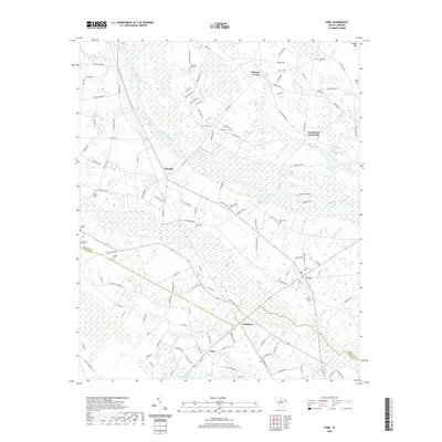
2020 Map of Fork
USGS Topo · Published 2020About this map
Little Pee Dee River winding through the Lowcountry defines the character of this region along the Dillon and Marion county line. The landscape is heavily marked by distinct Carolina bays and wetland systems, including Colson Bay, Manning Bay, and Maidendown Swamp. Small rural hubs like Fork, Smithboro, and Zion are connected by a network of farm roads and former rail corridors, reflecting a long history of agrarian development.
Find a feature on this map
129 named features on this map. Tap any name to fly to it.
Don’t see what you’re looking for? This feature index may not catch every label — zoom into the map to look around manually.
Map Details
Editions of this 2020 Fork Map
This is the sole edition of this map. No revisions or reprints were ever made.
Other maps of this area

1943 · Pages Mill
USGS Topo · 1:62,500

1946 · Mullins
USGS Topo · 1:24,000

1947 · Marion
USGS Topo · 1:24,000

1947 · Mullins
USGS Topo · 1:24,000

1948 · Nichols
USGS Topo · 1:24,000

1950 · Nichols
USGS Topo · 1:24,000

1953 · Florence
USGS Topo · 1:250,000

1954 · Florence
USGS Topo · 1:250,000

1959 · Fork
USGS Topo · 1:24,000

1960 · Latta
USGS Topo · 1:24,000