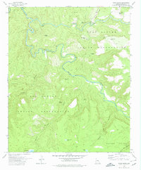
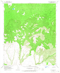
1978 Map of Forks Butte
USGS Topo · Published 1978About this map
Black River and White River converge in this high-altitude landscape, forming the headwaters of the Salt River along the boundary of the Fort Apache and San Carlos Indian Reservations. The terrain is defined by dramatic elevation changes, rising from the river canyons to the Sevenmile Rim and the Natanes Plateau. This 1978 edition, revised by the Bureau of Indian Affairs, documents a wilderness managed for water and livestock, evidenced by numerous named watering points like Navajo Bill Tank, Jackson Hole Tank, and Jaguar Tank. The confluence area at Forks Butte marks a significant hydrologic junction where isolated springs such as Maverick Spring and Warm Spring emerge from the canyon walls. A few primitive routes, including the Black River Crossing, provide the only access through the deeply incised drainages of Bronco Canyon and White Cow Canyon.
Find a feature on this map
32 named features on this map. Tap any name to fly to it.
Don’t see what you’re looking for? This feature index may not catch every label — zoom into the map to look around manually.
Map Details
Editions of this 1978 Forks Butte Map
2 editions found
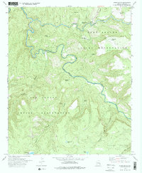
Other maps of this area

1954 · Mesa
USGS Topo · 1:250,000

1957 · Mesa
USGS Topo · 1:250,000

1958 · Mesa
USGS Topo · 1:250,000

1960 · Mesa
USGS Topo · 1:250,000

1964 · Mesa
USGS Topo · 1:250,000

1966 · Georges Butte
USGS Topo · 1:24,000

1966 · Popcorn Canyon
USGS Topo · 1:24,000
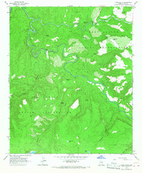
1966 · Forks Butte
USGS Topo · 1:24,000
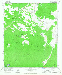
1966 · Cone Butte
USGS Topo · 1:24,000
1966 · Sontag Creek
USGS Topo · 1:24,000