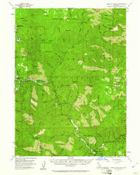
1955 Map of Forks of Salmon
USGS Topo · Published 1961About this map
The Salmon River and its North Fork dominate this mid-century topography, carving through the high elevations of the Klamath National Forest. This era in the California mountains is characterized by scattered mining operations and small riverbank settlements. Significant mining activity is recorded at the Bloomer Mine, Evergreen Mine, and the Sauer Kraut Mine near Sauer Kraut Peak.
Find a feature on this map
146 named features on this map. Tap any name to fly to it.
Don’t see what you’re looking for? This feature index may not catch every label — zoom into the map to look around manually.
Map Details
Editions of this 1955 Forks of Salmon Map
4 editions found

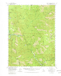
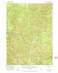
Other maps of this area

1914 · Seiad
USGS Topo · 1:125,000

1922 · Preston Peak
USGS Topo · 1:125,000

1922 · Seiad
USGS Topo · 1:125,000

1925 · Hoopa
USGS Topo · 1:125,000

1948 · Weed
USGS Topo · 1:250,000

1950 · Weed
USGS Topo · 1:250,000

1952 · Hoopa
USGS Topo · 1:62,500

1952 · Orleans
USGS Topo · 1:62,500

1955 · Dillon Mtn
USGS Topo · 1:62,500

1955 · Salmon Mtn
USGS Topo · 1:62,500