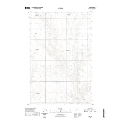
2020 Map of Forks
USGS Topo · Published 2020About this map
Forks and its surrounding plains in Phillips County are defined by a complex network of coulees and seasonal drainages. The landscape is marked by topographic features like Ole Olson Coulee and Water Coulee, which cut through the northern Montana terrain near the junction of several township boundaries. Local history and genealogy interest centers on the Forks Cem located along Forks Rd, serving as a primary landmark in this sparsely populated region. The drainage patterns are clearly delineated, showing the paths of Stinky Cr, its E Fork Stinky Cr, and Shotgun Cr as they move through the breaks. Transport is limited to a few arterial routes such as Cut Across Rd, reflecting the rural, open-range character of the area in the early twenty-first century.
Find a feature on this map
15 named features on this map. Tap any name to fly to it.
Don’t see what you’re looking for? This feature index may not catch every label — zoom into the map to look around manually.
Map Details
Editions of this 2020 Forks Map
This is the sole edition of this map. No revisions or reprints were ever made.
Other maps of this area

1920 · Cowan
USGS Topo · 1:125,000

1954 · Glasgow
USGS Topo · 1:250,000

1957 · Glasgow
USGS Topo · 1:250,000

1958 · Glasgow
USGS Topo · 1:250,000

1968 · Tattnall
USGS Topo · 1:24,000
1968 · Hewitt Lake
USGS Topo · 1:24,000

1984 · Cole
USGS Topo · 1:24,000

1984 · Whitewater East
USGS Topo · 1:24,000

1984 · Double S Hill
USGS Topo · 1:24,000

1984 · Forks
USGS Topo · 1:24,000